 FISHERMAN'S PATH & THE JOHN P. SAYLOR TRAIL 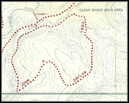 Hikers access the Fisherman’s Path by driving past the Bog and Boulder Trails entrance about 1½ miles to the Path trailhead on the Shade Road, built by the Bureau of Forestry to separate the Clear Shade Wild Area from the Babcock State Forest. This road is closed to vehicular traffic during the winter months but open for cross-country skiing and other activities not requiring motor vehicles. Fisherman’s Path descends a ridge for about ¾ of a mile to access the Middle Ridge Loop of the J.P. Saylor Trail. 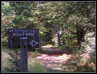 The loop crosses Clear Shade Creek on a swinging rope bridge near remnants of the Splash Dam, originally built about 1899 to help float timber down Clear Shade Creek to the lumber mill in New Ashtola. Its results were unsatisfactory, however, resulting in a logging railroad being constructed that traced the Clear Shade Creek drainage system. 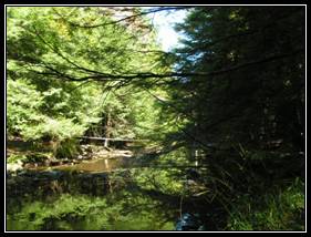 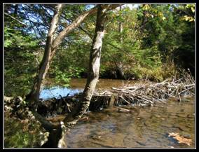 Much of the J.P. Saylor Trail follows these old logging railroad beds, making it popular with fishermen because it runs along the stream banks. 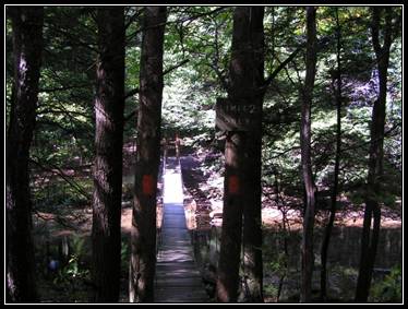 Fisherman’s Path and the Middle Ridge Loop of the J.P. Saylor Trail can be hiked from two to six hours, depending on how much of the 4¾ mile loop is utilized. |